Protecting our Ocean’s future
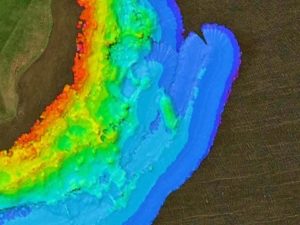
Public need for better methods to monitor, manage and protect international marine assets has motivated sonar methodologies research by Dr Richard Bates, of the Department of Earth & Environmental Sciences, and colleagues that has led to the establishment of over 107 internationally important sites of Marine Special Areas of Conservation and Marine Special Protection Areas. In 2009, all principal UK Conservation Organisations (e.g. Natural England, Joint Nature Conservancy Council, Scottish Natural Heritage) adopted, as mandatory, procedures on sonar methodologies for benthic habitat survey, developed by Bates et al. within their conservation guidelines. The sonar methods used are part of internationally adopted practice, for example on fisheries protection sites, while at the same time providing stunning visualisation widely used for public understanding of the sites.

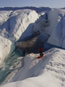
Since the early successes of the multibeam programme for habitat evaluation, a parallel research stream was developed for its use in studies of environmental change resulting from climate fluctuations.In particular a programme of research was stimulated by ground-breaking work on marine terminating glaciers in the Arctic highlighted by a series of films made for Greenpeace and the UN Climate Change Conference. The study of rapidly retreating glaciers and areas of sea-ice melt in Greenland, habitats to some of our most threatened species, such as the polar bear has since been the focus of documentaries for the BBC including Frozen Planet and the award-winning 2012 BBC programme, Operation Iceberg.

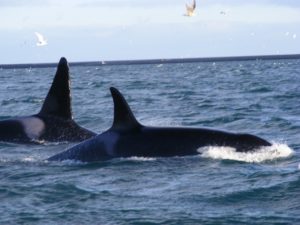
As the marine environment continues to be the focus of every intensifying exploitation, new methods of analysing habitats and their inhabitants are being developed. The latest sonar technology, 3D real-time methods is the focus for recent work on cetaceans such as Orca and is now being explored by other research centres around the world, for example in Woods Hole, USA.
